Wieliczka Salt Mine map: Discover Poland’s underground treasures

Wieliczka Salt Mine map

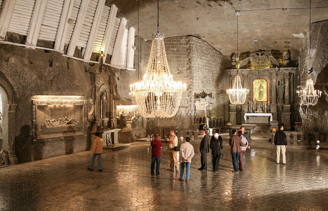
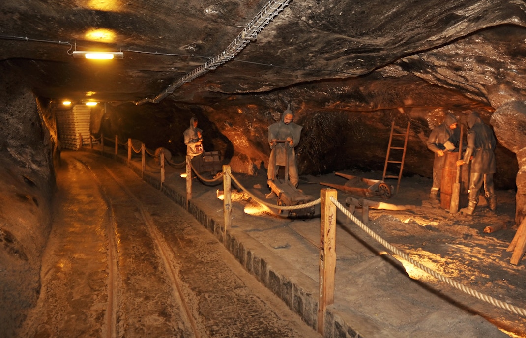
Stretching deep underground, the Wieliczka Salt Mine is one of Poland’s most iconic historical sites. Spanning over 287 kilometers of tunnels, it features stunning chambers, salt sculptures, and an underground lake. On this page, you'll find a map highlighting the mine’s key attractions, including the famous Chapel of St. Kinga and the unique salt art. Use this guide to plan your visit and navigate this fascinating subterranean world.

Routes at the Salt Mine

Tourist route

  • Best for: This route is customized for visitors who seek to explore the mine's key highlights, like its chambers, tunnels, and galleries.
  • Starting point: Daniłowicz Shaft
  • Time taken: It takes about 2 to 3 hours to complete this route.

Miners' route

  • Best for: This route is physically challenging and demanding and is best suited for adventure seekers.
  • Starting point: Regis Shaft
  • Time taken: It takes about 3 to 4 hours to complete this route.

Getting to the Wieliczka Salt Mine

Tour buses parked, ready for Château de Pierrefonds excursion.
  • By bus: No.s 304 from Kraków Główny, 210 from Kraków, Rondo Mogilskie
  • Closest stop: Wieliczka Rynek-Kopalnia 
  • By car or taxi: It takes 20-30 minutes from Krakow Glowny to the Salt Mines. Drive in the direction of the A4 motorway to merge onto route 94 (E40) to reach Wielisczka.
  • Drop-off point: ul. Danilowicza 10, 32-020 Wieliczka
  • Address: ul. Danilowicza 10, 32-020 Wieliczka
  • Address: Wieliczka Rynek-Kopalnia (the bus stop). This leads to the Wieliczka Salt Mine Museum and the gift shop.

Frequently asked questions about the Wieliczka Salt Mine

The mine is open daily from 7:30am to 8pm. It is best to go for an early tour to avoid large crowds.